Young Township Schools
Historical Documentation of Schools (1921-1959)
Schools in Young Township
| District | School | Year Closed |
|---|---|---|
| Young | Anita High School | 1921 |
| Horatio | 1935 | |
| White | 1937 | |
| Morris | 1940 | |
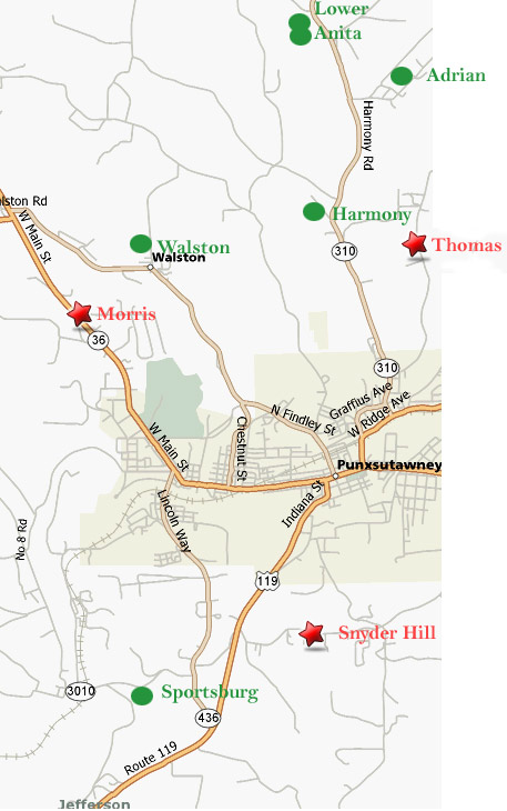
| Thomas | 1940 | |
| Anita #2 | 1943 | |
| Adrian | 1949 | |
| Harmony | 1950 | |
| Anita #1 | 1954 | |
| Snyder Hill | 1958 | |
| Sportsburg | 1959 | |
| Walston | 1959 |
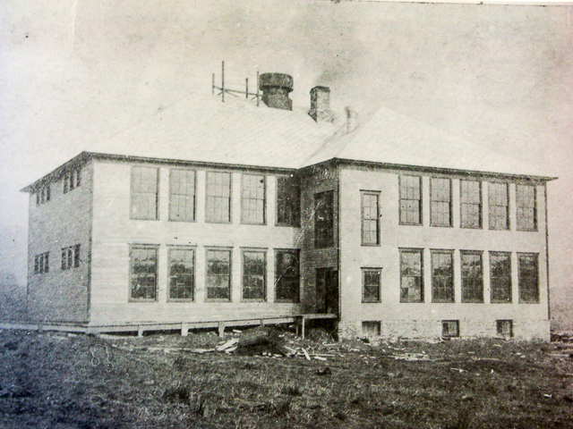
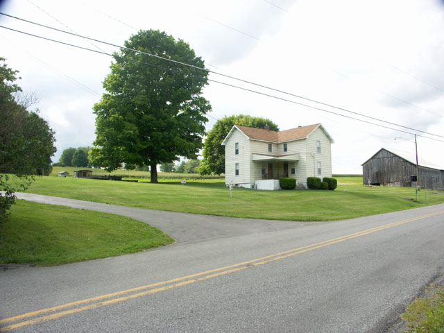
Anita High School (1921)
Horatio School (1935)
No photograph available
White School (1937)
No photograph available
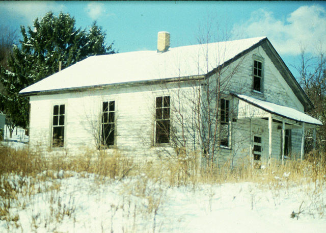
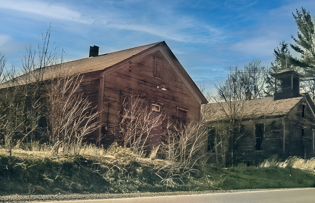
Morris School (1940)
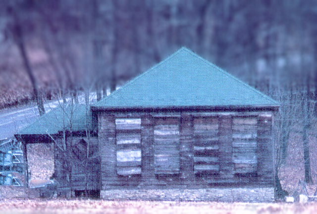
Thomas School (1940)
Anita #2 School (1943)
Adrian School (1949)
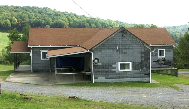
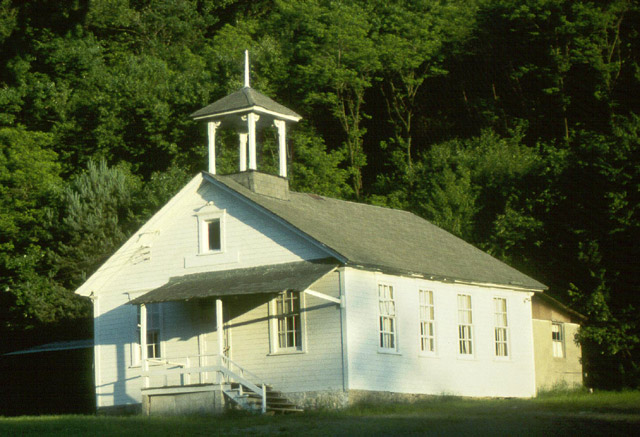
Harmony School (1950)
Location: Young Road
Anita #1 School (1954)
Snyder Hill School (1958)
Sportsburg School (1959)
Walston School (1959)