The Coke Ovens of Walston
A visit on March 19, 2007
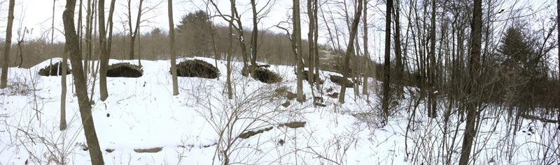
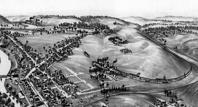
The story of the Walston coke ovens is well known and often told. But, until I happened upon this old map, I didn't realize the path that the old ovens took. In the map you can see the ovens extending from Walston, and wrapping their way towards golf course area.
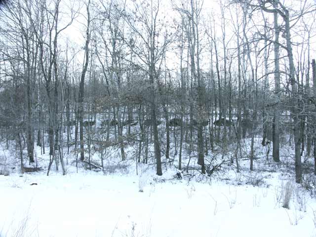
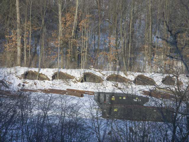
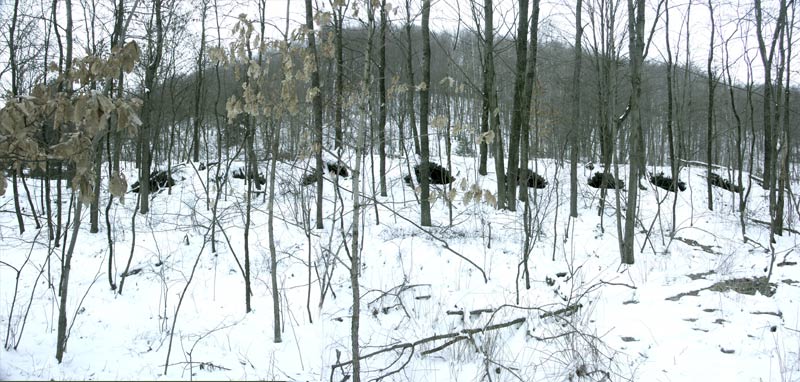
Unfortunately, the remnants of the old ovens are obscured by growth of trees and brush, and even those of us who travel Walston road every day, most times the old ovens are barely noticeable. However, a bit of snow helps draw them out.
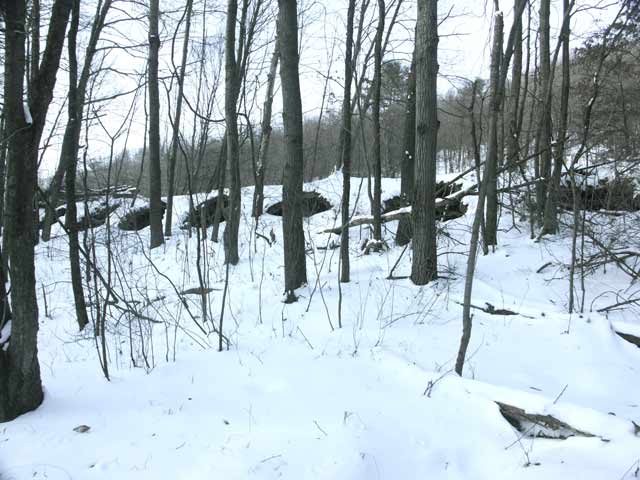
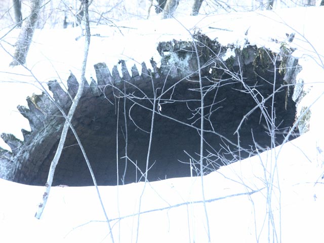
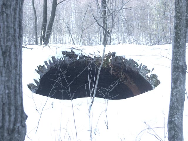
Also, from the road, you can't see the ovens that line Walston Road.
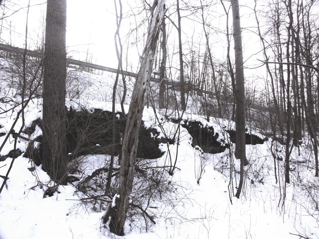
But, they are there, tight against the road way.