Oliver Township Schools
Historical Documentation of Schools (1941-1960)
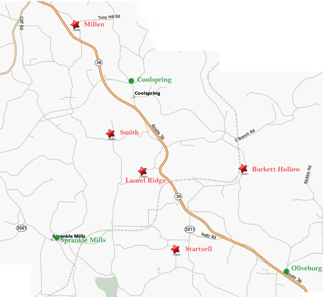
Schools in Oliver Township
| District | School | Year Closed |
|---|---|---|
| Oliver | Laurel Ridge | 1941 |
| Burkett Hollow | 1943 | |
| Millen | 1945 | |
| Startzell | 1946 | |
| Smith | 1947 | |
| Oliveburg | 1953 | |
| Coolspring | 1960 | |
| Sprankle Mills | 1960 |
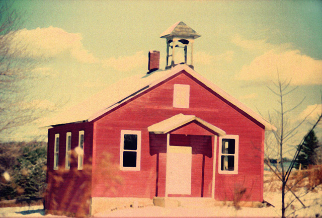
Laurel Ridge School (1941)
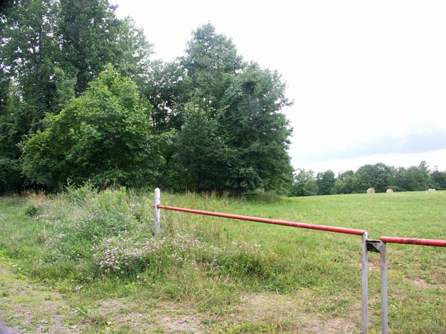
The location coordinates are not quite accurate. The school was probably to the left of the mapped location.
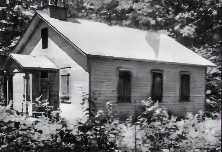
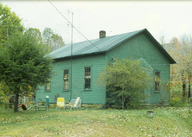
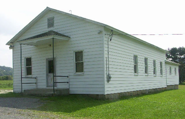
Burkett Hollow School (1943)
Location: Burkett Hollow Road
Coordinates: 41.0225, -79.04417
Elevation: 1380 ft
View on Google MapsMillen School (1945)
Startzell School (1946)
Smith School (1947)
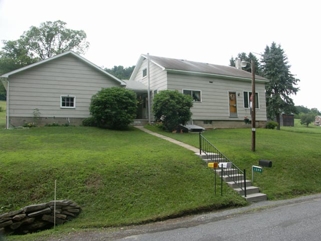
Oliveburg School (1953)
Location: Route 36
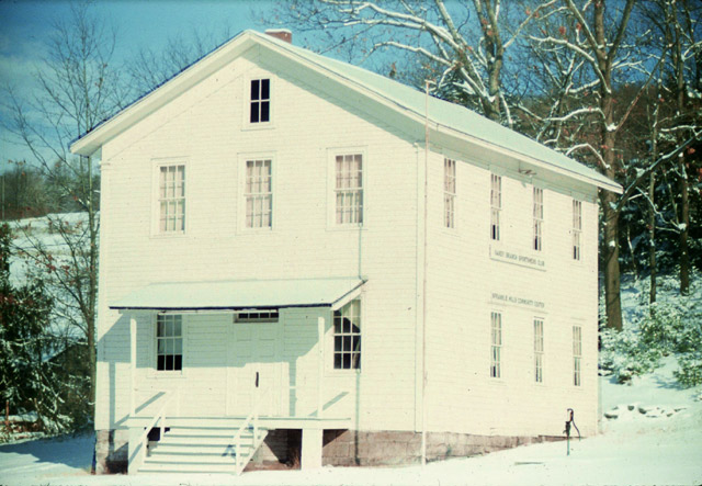
Coolspring School (1960)
Sprankle Mills School (1960)