Bell Township Schools
Historical Documentation of Closed Schools (1919-1959)
North Grube School (1919)
No photograph available
Furnondag #1 School (1925)
No photograph available
Furnondag #2 School (1926)
No photograph available
Grube School (1939)
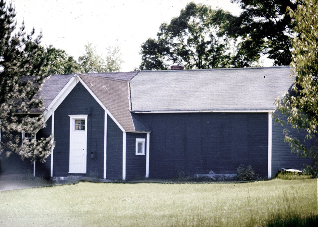
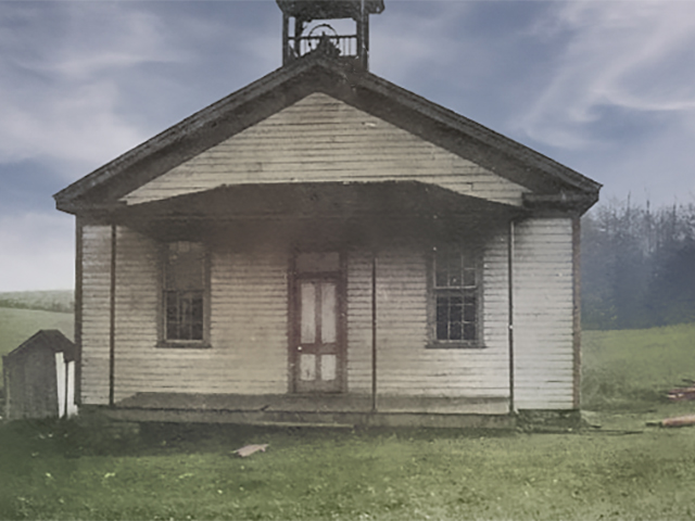
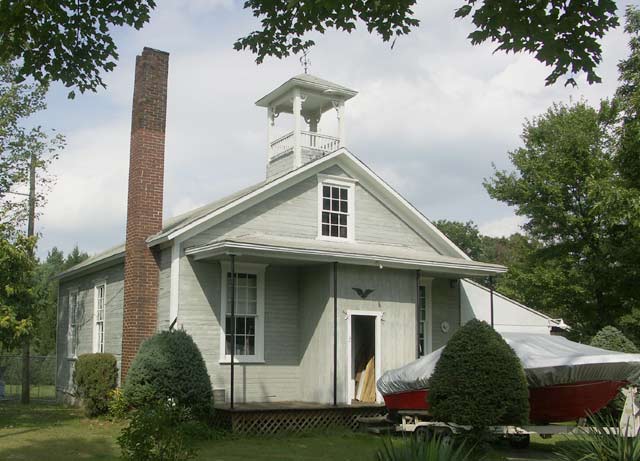
Hoch School (1946)
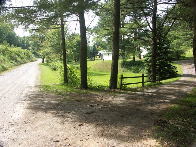
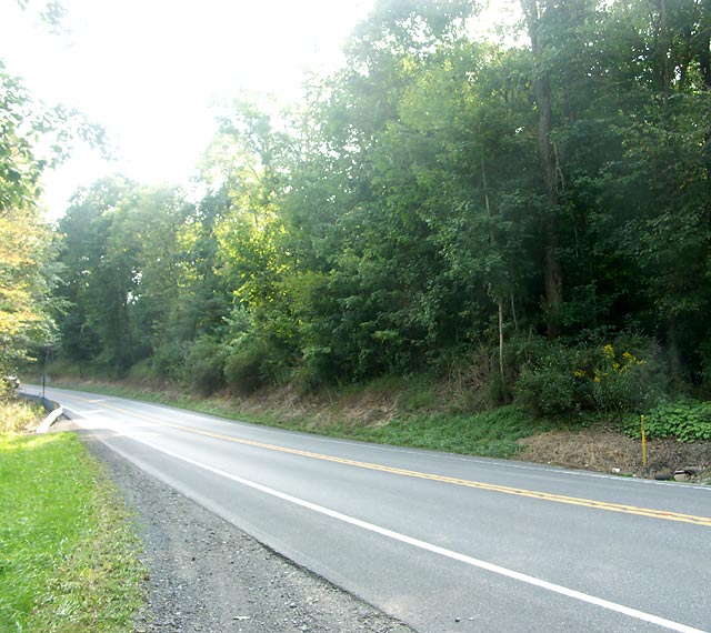
Location: Hidden Hollow Lane
Coordinates: 40.91694, -78.94278
Elevation: 1340 ft
This may not be the exact location, but it is in the vicinity.
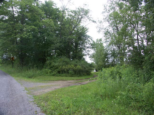
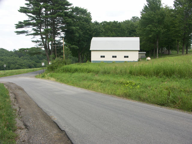
View on Google MapsCouch School (1946)
Location: Bair Road
Coordinates: 40.92583, -78.90583
Elevation: 1580 ft
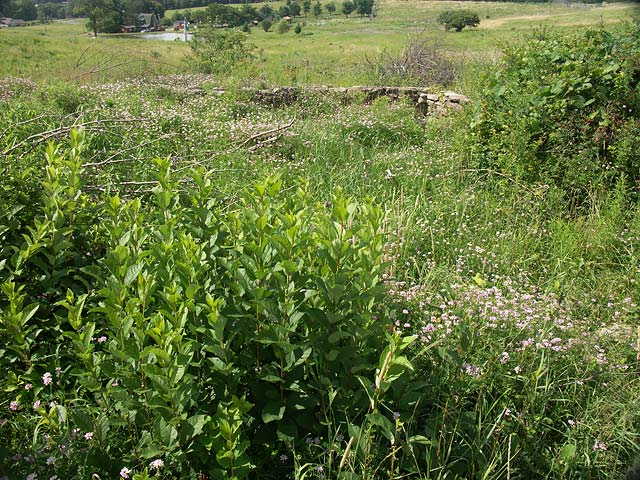
The coordinates place the school on the opposite side of the road, but there is this foundation visible...
View on Google MapsTrout Run School (1946)
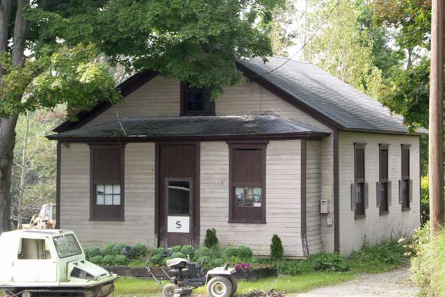
Bell School (1946)
Cloe #1 School (1959)
No photograph available
Cloe #2 School (1959)
Fairview School (1959)
Albion Schools (1959)
Albion #1 and Albion #2 both closed in 1959