Punxsutawney School Gallery - Young
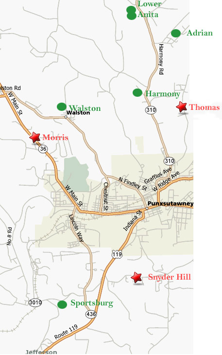
| District | School | Year |
|---|---|---|
| Young | Anita High School | |
| Horatio | 1921 | |
| White | 1921 | |
| Morris | 1947 | |
| Thomas | 1947 | |
| Anita #2 | 1949 | |
| Adrian | 1955 | |
| Harmony | 1958 | |
| Anita #1 (lower) | 1959 | |
| Snyder Hill | 1959 | |
| Sportsburg | 1959 | |
| Walston | 1959 |
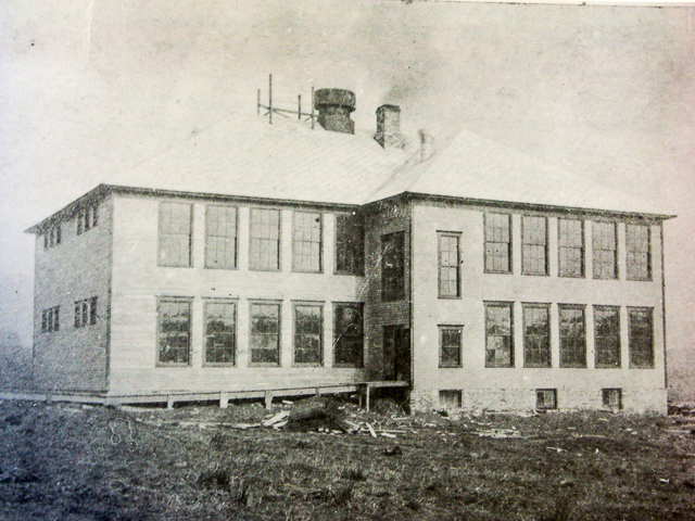
Horatio (1921)
White (1921)
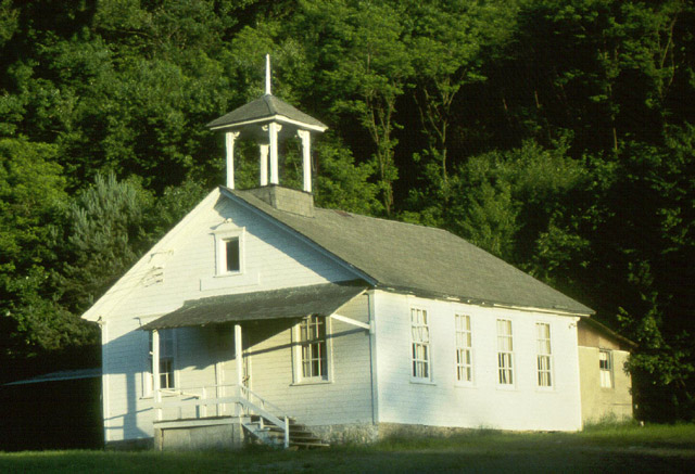
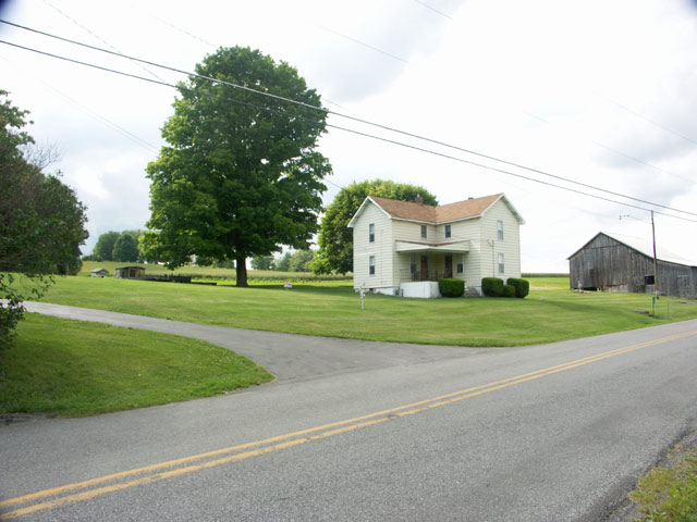
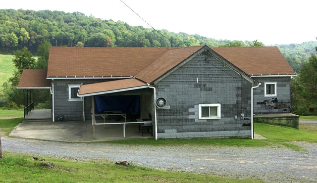
Morris (1947)
Rt. 36 North
Latitude: 40.96028 : Longitude: -79.00417 : Elevation: 1490 ft
Morris School Location Map
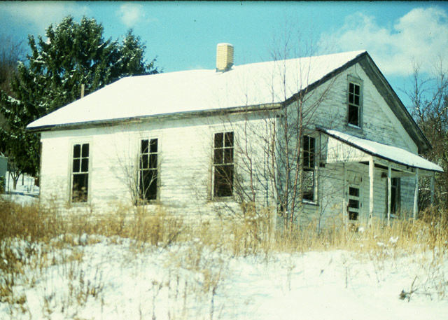
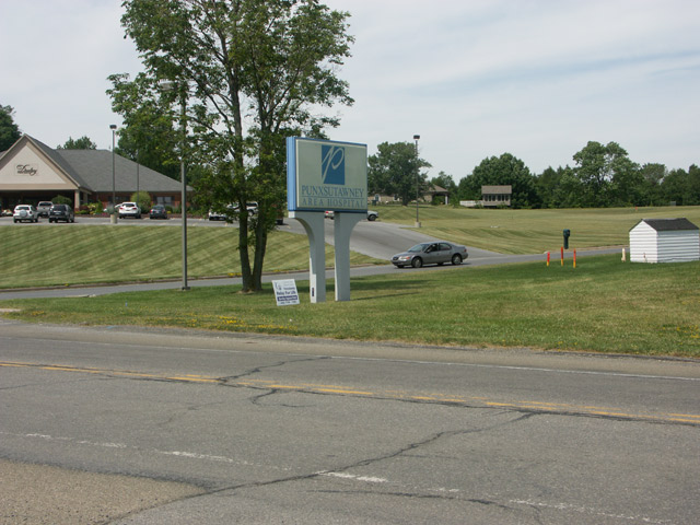
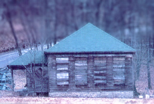
Thomas (1947)
Scottland Ave Ext.
Latitude: 40.9675 : Longitude: -78.96083 : Elevation: 1450 ft
Thomas School Location Map
Harmony (1958)
Young Road
Anita #1 (lower) (1959)
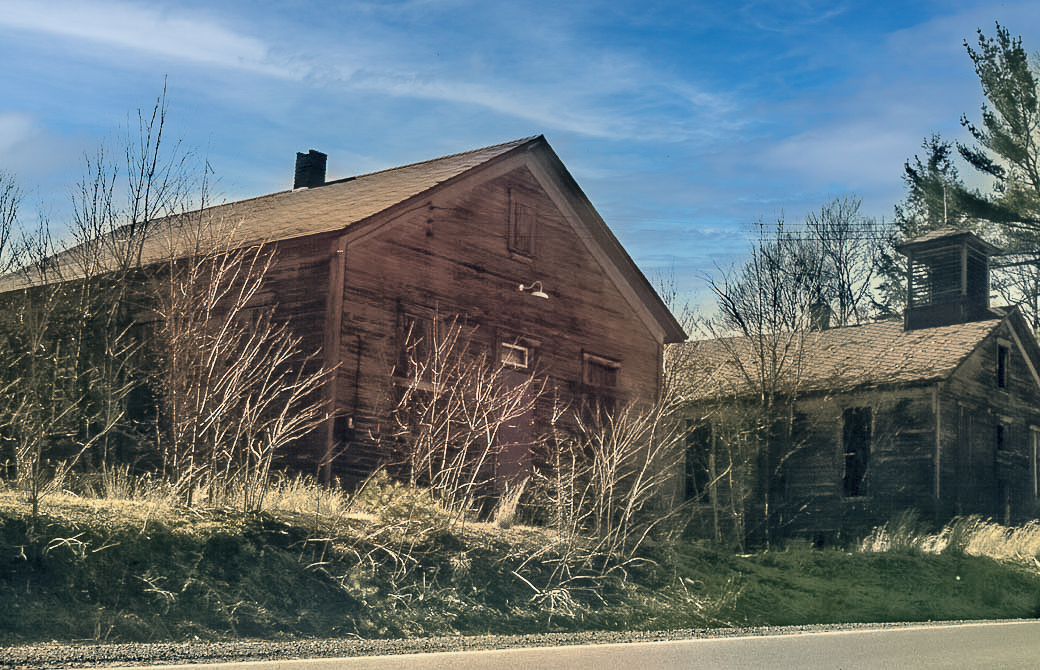
Snyder Hill (1959)
Snyder Hill Road
Latitude: 40.9275 : Longitude: -78.97417 : Elevation: 1550 ft
Snyder Hill School Location Map