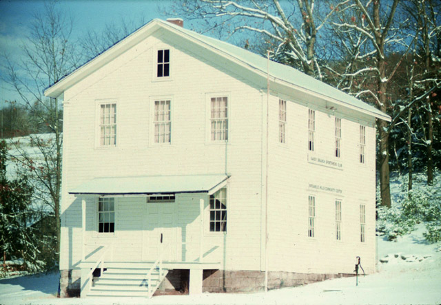
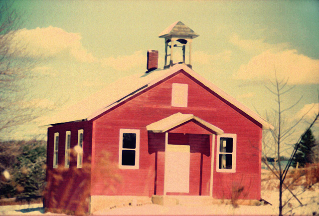
Punxsutawney School Gallery- Oliver
| District | School | Year |
|---|---|---|
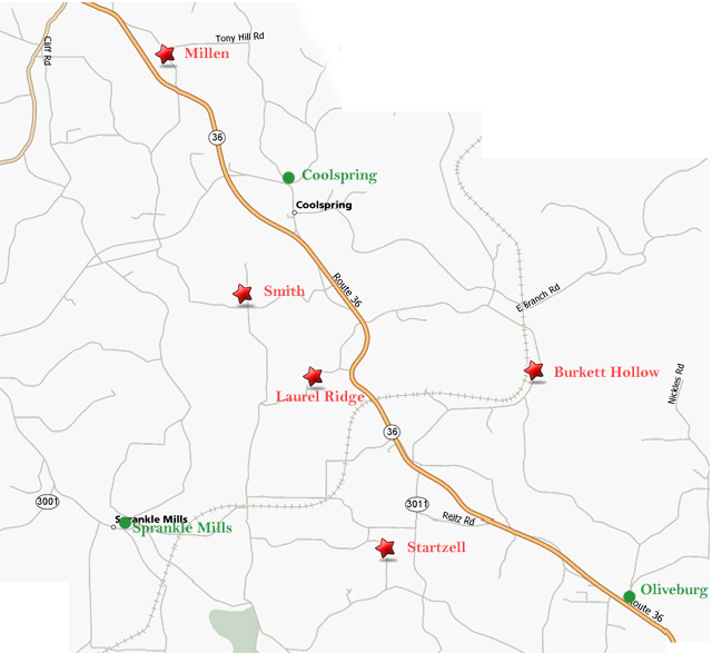
| Oliver | Laurel Ridge | 1941 |
| Burkett Hollow | 1943 | |
| Millen | 1945 | |
| Startzell | 1946 | |
| Smith | 1947 | |
| Oliveburg | 1953 | |
| Coolspring | 1960 | |
| Sprankle Mills | 1960 |
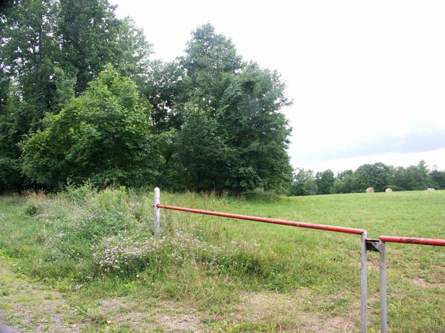
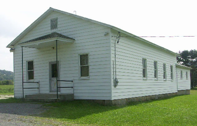
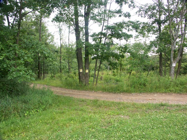
Laurel Ridge Road
Latitude: 41.02167 : Longitude: -79.08083 : Elevation: 1800 ft
The location is not quite accurate. The school was probably to the left of this image. I will try to update it soon.
Laurel Ridge School Location Map
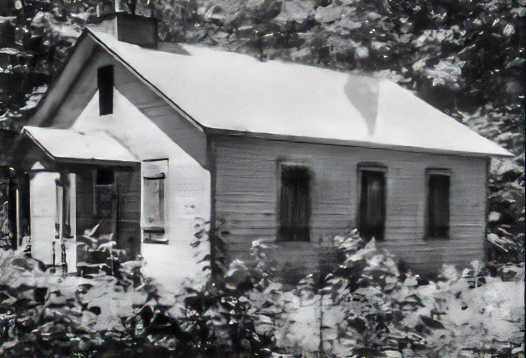
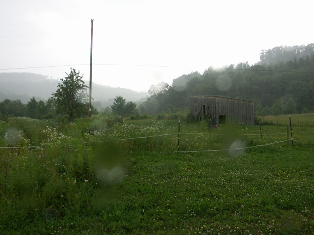
Burkett Hollow 1943
Burkett Hollow Road
Latitude: 41.0225 : Longitude: -79.04417 : Elevation: 1380 ft
Burkett Hollow School Location Map
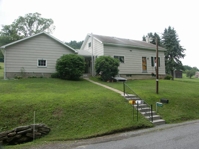
Millen 1945
Hoffman Road
Latitude: 41.06389 : Longitude: -79.10528 : Elevation: 1440 ft
Millen School Location Map
Startzell 1946
Startzel Road
Latitude: 40.99917 : Longitude: -79.06861 : Elevation: 1500 ft
Startzel School Location Map
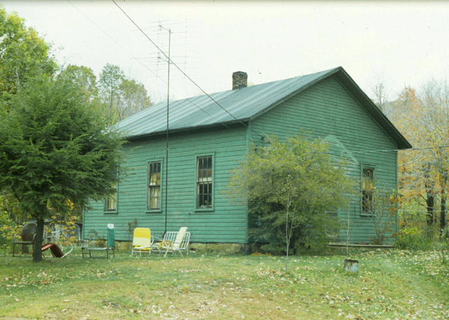
Smith 1947
Tommy Lane
Latitude: 41.0325 : Longitude: -79.0925 : Elevation: 1340 ft
Smith School Location Map
Oliveburg 1958
Rt 36