Punxsutawney School Gallery
| District | School | Year |
|---|---|---|
| McCalmont | Sprucedale | 1918 |
| Old Anita | 1918 | |
| Florence | 1921 | |
| Pifer | 1939 | |
| Battle Hollow | 1942 | |
| Cortez | 1942 | |
| Eleanora | 1942 | |
| Anita High School | 1942 | |
| Hemlock | 1943 | |
| Panic | 1947 | |
| Anita | 1958 |
Sprucedale (1918)
Old Anita (1918)
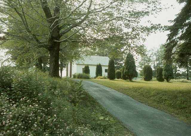
Florence (1921)
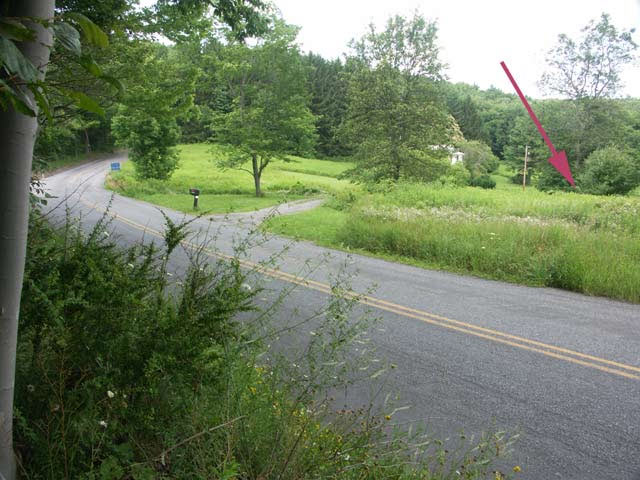
Graffius AVe. Ext.
Latitude: 41.00083 : Longitude: -78.94389 : Elevation: 1640 ft
Florence (High Florence) School Location Map
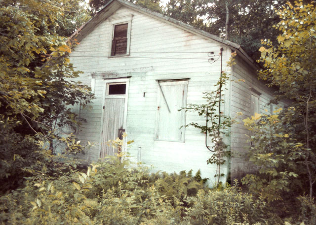
Pifer (1939)
Battle Hollow (1942)
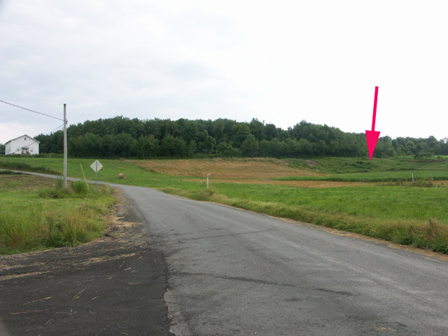
Anita-Oliveburg Road
Apparently was named because of a disagreement over the best location for the school, and "Battle Hollow" seemed to best describe the deliberations!
Latitude: 41.00417 : Longitude: -78.99861 : Elevation: 1630 ft
Battle Hollow School Location Map
Cortez (1942)
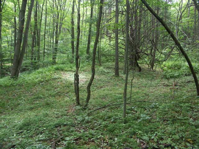
Knoxdale Road
Latitude: 41.01778 : Longitude: -78.98444 : Elevation: 1580 ft
Cortez School Location Map
Eleanora (1942)
Anita High School (1942)
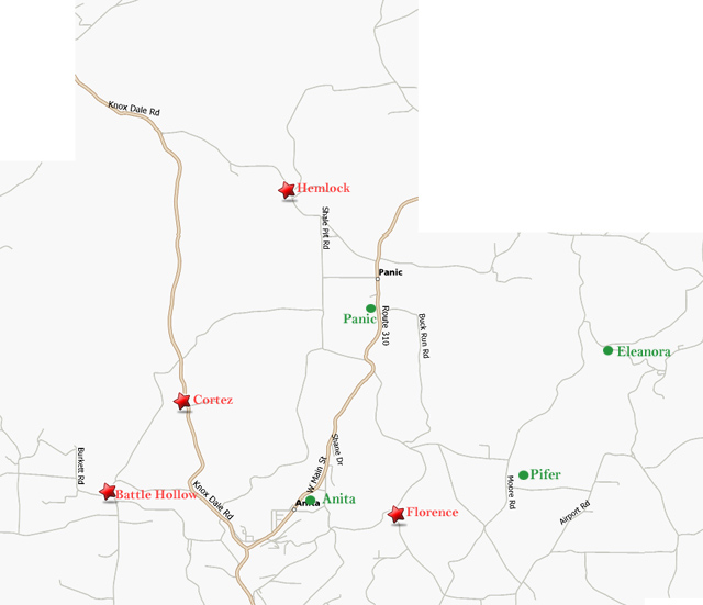
Hemlock (1943)
Panic Knoxdale Road
Latitude: 41.04944 : Longitude: -78.96444 : Elevation: 1820 ft
Hemlock School Location Map
Anita (1958)