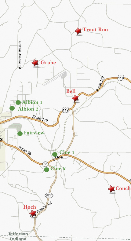
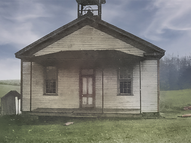
Punxsutawney School Gallery - Bell
| District | School | Year |
|---|---|---|
| Bell | North Grube | 1919 |
| Furnondag #1 | 1925 | |
| Furnondag #2 | 1926 | |
| Grube | 1939 | |
| Hoch | 1946 | |
| Couch | 1946 | |
| Trout Run | 1946 | |
| Bell | 1946 | |
| Cloe #1 | 1959 | |
| Cloe #2 | 1959 | |
| Fairview | 1959 | |
| Albion#1 | 1959 | |
| Albion #2 | 1959 |
North Grube (1919)
Furnondag #1 (1925)
Furnondag #2 (1926)
Grube (1939)
Willow Road
Latitude: 40.97306 : Longitude: -78.94167 : Elevation: 1400 ft
Grube School Location Map
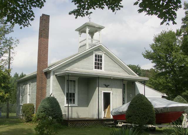
Hoch (1946)
Hidden Hollow Lane
Latitude: 40.91694 : Longitude: -78.94278 : Elevation: 1340 ft
Hoch School Location Map
This may not be the exact location, but it is the vicinity.
Bair Rd
Latitude: 40.92583 : Longitude: -78.90583 : Elevation: 1580 ft
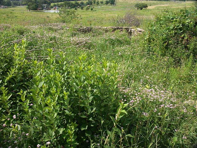
Couch School Location Map The Lat/Long setting puts the school on the opposite of the road, but there is this foundation, so . . . ?
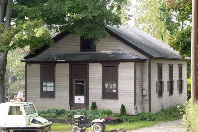
Trout Run (1946)
Airport Road
Latitude: 40.985 : Longitude: -78.92139 : Elevation: 1470 ft
Trout Run Location Map
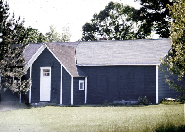
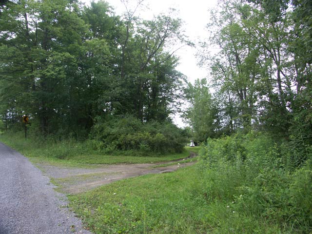
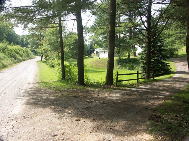
Bell (1946)
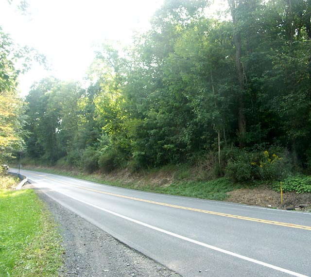
Rt 119
Latitude: 40.95972 : Longitude: -78.9225 : Elevation: 1290 ft
Bells School Location Map
Cloe #1 (1959)
Cloe #2 (1959)
Fairview (1959)
Albion #1 (1959)
Albion #2 (1959)