Punxsutawney School Gallery
| District | School | Year |
|---|---|---|
| Banks | Prattville | 1926 |
| Fry | 1929 | |
| Fetterman | 1929 | |
| Lockvale | 1929 | |
| Sidney | 1926 | |
| Cross Roads | 1941 | |
| Rowley | 1944 | |
| Rockwood | 1946 | |
| Graham | 1952 | |
| Pleasant Dale | 1953 | |
| McKee | 1955 | |
| Pine Grove | 1955 | |
| Smithport | 1955 | |
| Banks Canoe | 2003 |
Prattville (1926)
Fry (1929)
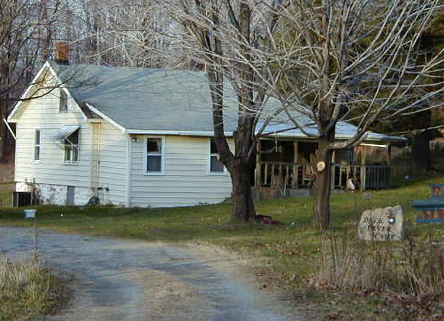
Fetterman site (1929)
Fetterman School 1919


Lockvale (1929)
Sidney (1926)
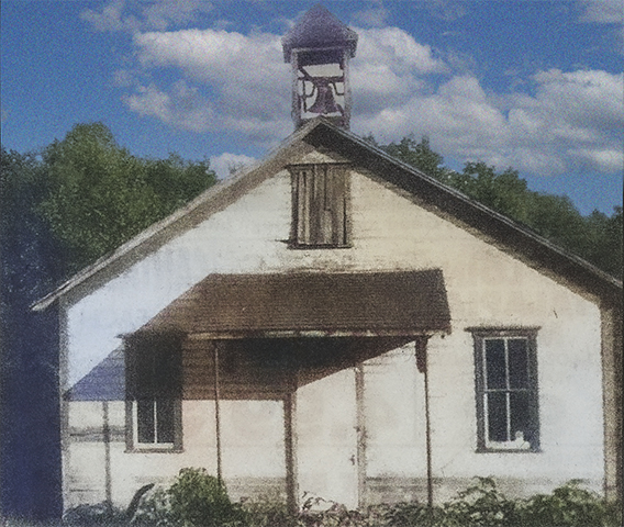
Cross Roads (1941)

Fire Tower and Brickell Roads
Latitude: 40.84361 : Longitude: -78.85083
Crossroads School Location Map
Rowley (1944)

Spotts Road
Latitude: 40.82222 : Longitude: -78.86778
Rowley School Location Map
Rockwood (1946)
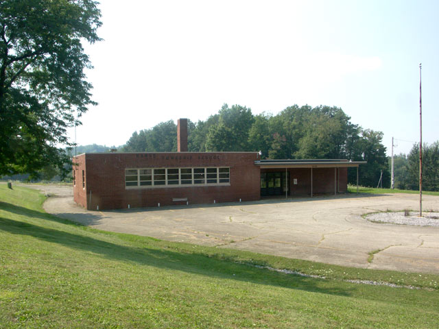
Graham (1952)
Pleasant Dale (1953)

Hillman Road
Latitude: 40.895 : Longitude: -78.865
Pleasant Dale School Location Map


Steffy Church Road
Latitude: 40.89611 : Longitude: -78.88417
McKee School Location Map


Fire Tower Road
Latitude: 40.84917 : Longitude: -78.81833
Pine Grove School Location Map